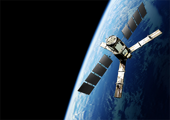
The Soil Moisture and Ocean Salinity satellite (SMOS) is a part of ESA's Living Planet Programme intended to provide new insights into Earth's water cycle and climate. In addition, it is intended to provide improved weather forecasting and monitoring of snow and ice accumulation.
The massive flooding that central Europe is currently suffering was brought about by a wet spring and sudden heavy rains.
 SMOS carries a novel microwave sensor to capture images of ‘brightness temperature’ to derive information on soil moisture.Prior to the torrential rains, SMOS showed that soils in Germany were showing record levels of moisture – in fact, the highest ever observed.The animation below shows the wet soils in blues and the dryer soils in yellows.ESA’s SMOS mission scientist, Matthias Drusch, explains, “Data from SMOS can be used to monitor the saturation of the soil.

As parts of central Europe are battling with the most extensive floods in centuries, forecasters are hoping that ESA’s SMOS satellite will help to improve the accuracy of flood prediction in the future.
 |
| The floods in central Europe led to the International Charter Space and Major Disasters being activated, which provides a unified system of data acquisition and delivery to those affected by disasters. ESA and the Centre National d’Etudes Spatiales, CNES, set up the International Charter in 1999. The DLR German Aerospace Center is managing this particular activation, with satellite missions such as TerraSAR-X and RapidEye providing imagery to aid the relief effort. |
Credit : ESA